
WeatherWatcher: Windy Sunday, a repeat of Thursday
Sunday, October 30, 2022
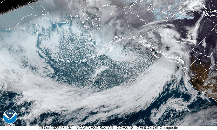
A frontal system very much like the one we just had on Thursday is moving in during the early morning through early afternoon hours on Sunday. It is expected to give us pretty much the same kind of breezy day, with winds gusting to 30-35mph, as we had on Thursday.
Another wind advisory has been issued by the National Weather Service for our neighbors to the north in Woodway and Edmonds up through Everett to the Canadian border. The wind advisory is in effect from 11PM PDT Saturday night until 2PM PDT Sunday afternoon.
Rain is expected most of the day Sunday, but it will be light for the daylight hours, with around a quarter of an inch expected. Once the front moves south in the evening, winds will slow a little and the rain will pick up with up to one inch of rain in the forecast for Sunday night.
For Halloween it will remain on the breezy side in the morning and afternoon hours with a chance of showers or showers likely through most of the day. It should be a little drier Monday evening for Trick or Treaters, with only a chance of showers remaining.
Below is the UW WRF-GFS forecast model for Monday evening between 5pm - 8pm PDT. It appears Shoreline and Lake Forest Park will fall in the Olympic Mountain rain shadow at this time so it should be mostly dry. It does however show a convergence zone near Everett. Convergence zones are very difficult to forecast even hours before they form, which means it's possible that convergence zone may develop further south into the Shoreline and Lake Forest Park areas.

Cloudy and wet weather is expected through the remainder of next week with near normal temperatures. We might see some sun breaks on Wednesday. Thursday evening through the next weekend has a steady rain signal in the forecast.

For current weather conditions visit www.shorelineweather.com


0 comments:
Post a Comment