
WeatherWatcher: Light Snow possible, cold snap this week.
Tuesday, February 22, 2022
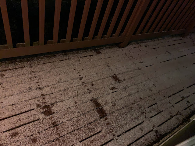 |
| Shoreline 11pm February 21, 2022 photo by Diane Hettrick |
Flurries are indicating a cold snap is moving in place. We have arctic air moving into the region to take hold for most of the week, but it's not expected to bring much, if any snow with it. Temperatures this week are expected to dip into the low to mid 20's with highs in the 30's. Tuesday night is expected to be our coldest night. We are also expecting sunshine and clear skies, with not much moisture around to give us too much of a snow threat.
There is another slight chance of snow Wednesday night into Thursday morning, but again, slight chance and very light. We're not expecting the story here to be a snow event, just a cold event. Friday is a transition day, with temperatures rising a little bit relative to the earlier part of the week. Saturday and Sunday we go back to high temperatures near 50°F and a renewed chance of rain.
Bottom line: Main story this week will be the cold air, but it's not as cold as it was during the last week of December. We remain, for the most part, dry all week until we warm up a little and return to chances of rain next weekend.

For current weather conditions visit www.shorelineweather.com


0 comments:
Post a Comment