
WeatherWatcher: Winter Weather Advisory in effect for Thursday
Wednesday, December 29, 2021
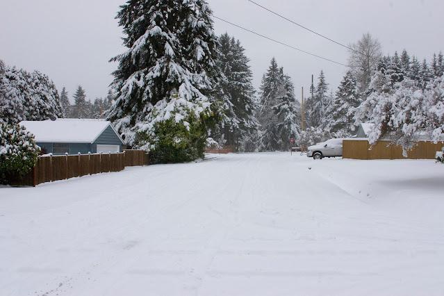 |
| January 18, 2012 snow in Shoreline Photo by Carl Dinse |
The National Weather Service in Seattle has issued a winter weather advisory in effect Thursday until 7pm. Snow is expected through Thursday tapering off in the afternoon hours. Total new accumulations expected between 2 - 5 inches.
The forecast has little signs of any warmup for the north end, which includes Shoreline and Lake Forest Park. Snow is expected all day Thursday ending in the evening hours. Friday, we get a break with sunny skies and more cold temperatures. We are looking at lows in the lower to mid 20's and highs right around freezing, depending on your elevation.
A chance of snow brings in the New Year shortly after midnight with gradual warming during New Year's Day. There is a chance of snow in the morning with the possibility of a chance of rain or snow in the afternoon. Snow levels rise to around 200 feet, so most of the area will still be above the snow level.
Saturday evening through Tuesday we warm up, just a little. High temperatures may make it into the 40's with a chance of rain. Sunday night looks to be our next steady rain event. Longer range shows that by Wednesday next week we could be cooling down again with the threat of at least seeing some snow mix in with rain.
Forecasts continue to have high uncertainty about the warmup in the weekend, and what to expect next week. We'll do our best to keep you up to date with the latest when things become more certain.
Monday December 27, 2021 was officially the coldest day since December 29, 1990. The high temperature on Monday December 27th was 23°F at Sea-Tac. The high on December 29, 1990, only reached 22°F at Sea-Tac. The low this past Monday morning was 17°F at Sea-Tac.
In Shoreline, Monday's high temperature reached 21.6°F, with a low of 14°F. We've recorded a total snow accumulation of 10 inches, but never had 10 inches total on the ground, as some has compressed and evaporated inbetween the smaller snow dumps. There was a total 6 inches on the ground Saturday morning, another 3 inches new snow reported Sunday, and 1 inch new reported Monday at the Richmond Beach station.

For current weather conditions visit www.shorelineweather.com


0 comments:
Post a Comment